2024 USDA Hardiness Zone Changes
In November of 2023, the USDA updated its plant hardiness zone map for the first time since 2012 – not surprisingly, lots of places are warmer than they used to be.
A full 63% of Mirimichi Green customers saw a half-zone change or more. Mirimichi Green produced a guide to help our users in updated USDA Hardiness Zones.
How do I know if my USDA Hardiness Zone changed?
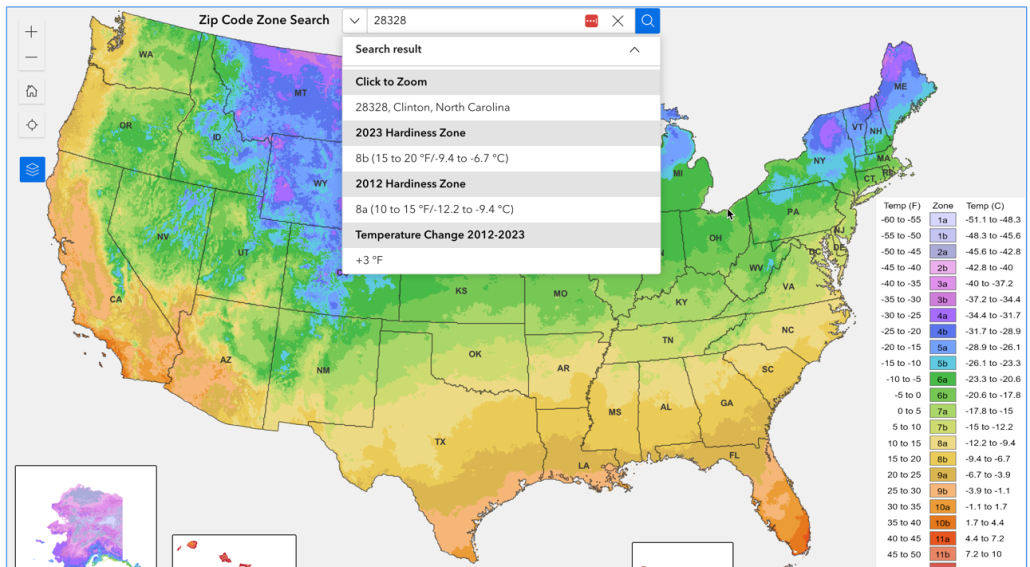
You can search the 2023 USDA Plant Hardiness Zone Map by zip code to see if your area has changed since 2012.
What can I do if my USDA Hardiness Zone changed?
If your zone changed but is still the same number, there’s probably not a lot you need to do, except start to prepare for things to continue getting hotter. As in the example above, Clinton, NC, changed from zone 8a to zone 8b, a halfzone. But the it’s still in zone 8.
If you moved up a number level, like from zone 7b to 8a, you may want to consider making some changes.
For new plantings:
Consider updating your list of go-to flowers, shrubs, and trees to varieties better suited to your current zone. For a list of examples, you can download our PDF below which describes some considerations if you moved up a number level. Please print and use the relevant page. We hope it’s helpful for your staff and customers.
For existing plants:
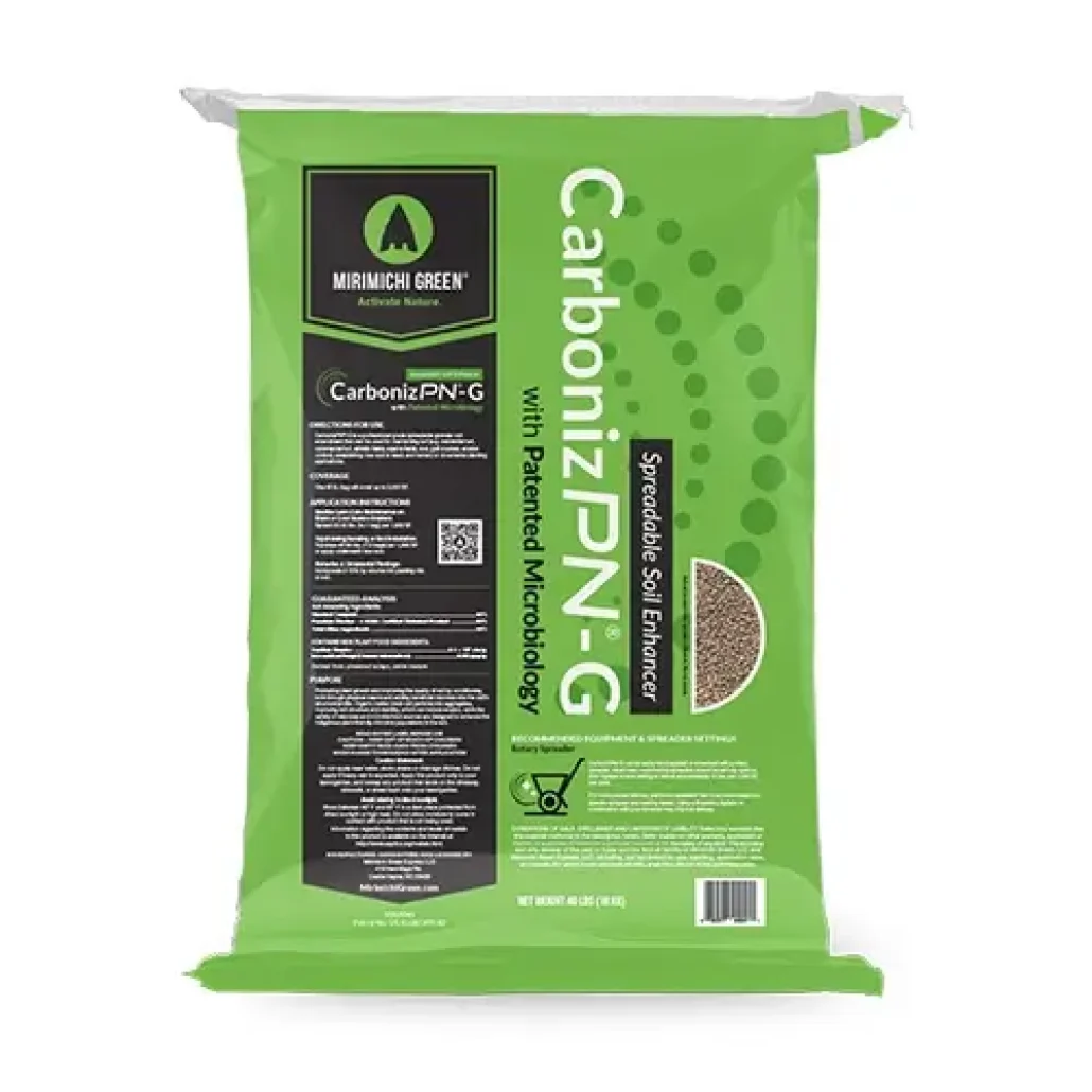
Improving soil conditions can go a long way in helping established plants continue to survive and even thrive in higher zones. Consider CarbonizPN Soil Enhancer to improve soil fertility and reduce water needs in an increasingly challenging climate.
What is the USDA Hardiness Zone Map?
The USDA Plant Hardiness Zone Map is a valuable resource for gardeners and landscapers in the United States.
The geographical map divides the country into zones based on the average annual minimum winter temperature. Each zone represents a range of temperatures and is useful for determining which plants are likely to thrive in a particular location.
1. Temperature Zones: The map is divided into zones defined by 10-degree Fahrenheit increments. These zones are further subdivided into “a” and “b” sections, each representing a 5-degree Fahrenheit difference.
2. Guidance for Planting: The map guides gardeners and landscapers in selecting plants that are most likely to survive the winter in their region. Plants are often labeled with their hardiness zone information.
3. Limitations: The zone guide certainly doesn’t account for everything. Limitations of the zone map include the impact of microclimates, soil conditions, summer heat tolerance, wind exposure, precipitation and water availability, local typography, season length, and extreme weather events.

